GEO Survey & Solutions

Home / Our Service

MAPPING

MAPPING

Facilities Mapping
Industrial and commercial facilities are constantly changing and being improved, due in part to the need to continually satisfy government regulations. So whether it be to help facilitate an improvement or to create an emergency disaster plan, we have the capability to map facilities that can serve any number of client purposes.

We re-create locations for our clients using state-of-the-art digital surveying instruments, digital levels, and precise differential GPS. We then provide these deliverables to our clients in Geographic Information Systems (GIS) and CAD-compatible 2D digital drawing formats.

Facilities Mapping
Right way of Mapping
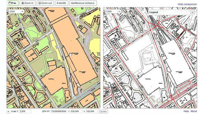
Railroads, pipeline companies, electric companies and departments of transportation require specialized right of way mapping for maintenance, planning, design, acquisition and improvements.
GEO Survey is an excellent source for Right of Way surveys because we understand the two critical components of these types of surveys: First, you need to possess a thorough knowledge of boundary and title law. Then, to conduct the survey itself, you need to be able to employ a combination of research, geodetic control and ground surveying.